Update: Version 2.5.7! New Weather Layers, Aircraft Animation, Airport Page (Bookmark, Filter), FIR, Stats, and more.
RadarBox App (Version 2.5.7)
We are thrilled to announce that the RadarBox app has just been updated with a bunch of new features to take your flight-tracking experience to the next level. Our team has worked tirelessly to bring you the latest and greatest tools to make your time with our app more enjoyable and informative.
What's new?
- New weather layers: TFR, Turbulence, and Icing layers.
- Icon: Aircraft animation.
- Airport Page: Save your favorite airports.
- Airport page: Filter flights by Class: Easily filter flights by their class type to get more accurate and relevant information.
- Flight Card: FIR info: Now, you can view detailed information about the airspace around a flight's current location.
- Stats: stats panel: Airports, airline stats.
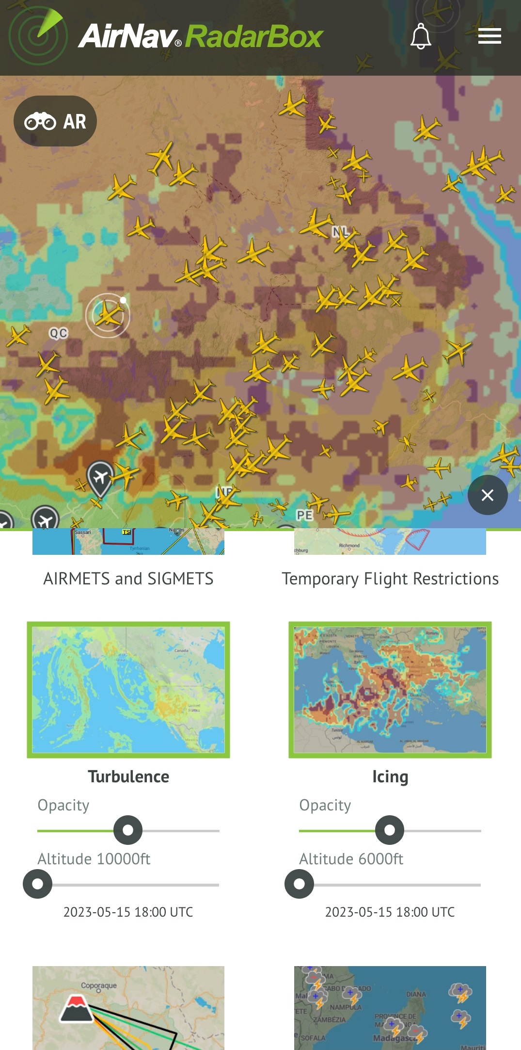
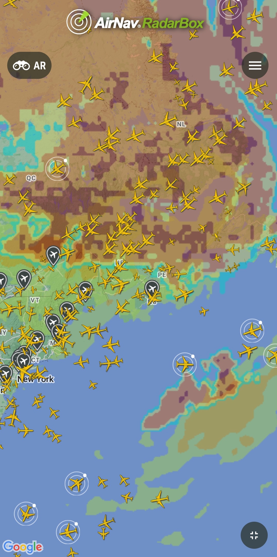
Weather Layers
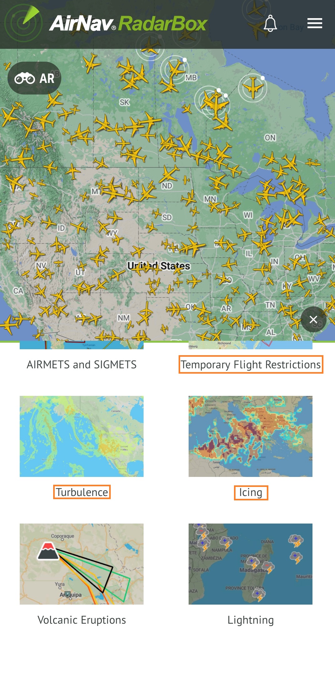
1. TFR (Temporary Flight Restrictions) displays zones with flight restrictions in the U.S.
2. The turbulence weather layer uses advanced weather forecasting models to predict areas of potential turbulence across the globe. By overlaying this data onto our flight tracking maps, users can quickly identify potential turbulence zones along the flight path of any aircraft. This will allow you to plan your routes more effectively and avoid any unnecessary turbulence that could impact your flight.
3. With the Icing layer, users can quickly identify areas where icing conditions may be present by overlaying the Icing Weather Layer onto our flight tracking maps. The layer uses advanced weather forecasting models to predict areas where icing conditions may exist.
Weathers Layers
To utilize the recently added weather layers on the RadarBox app, navigate to the "Weather Layers" tab and choose one of the weather layers.
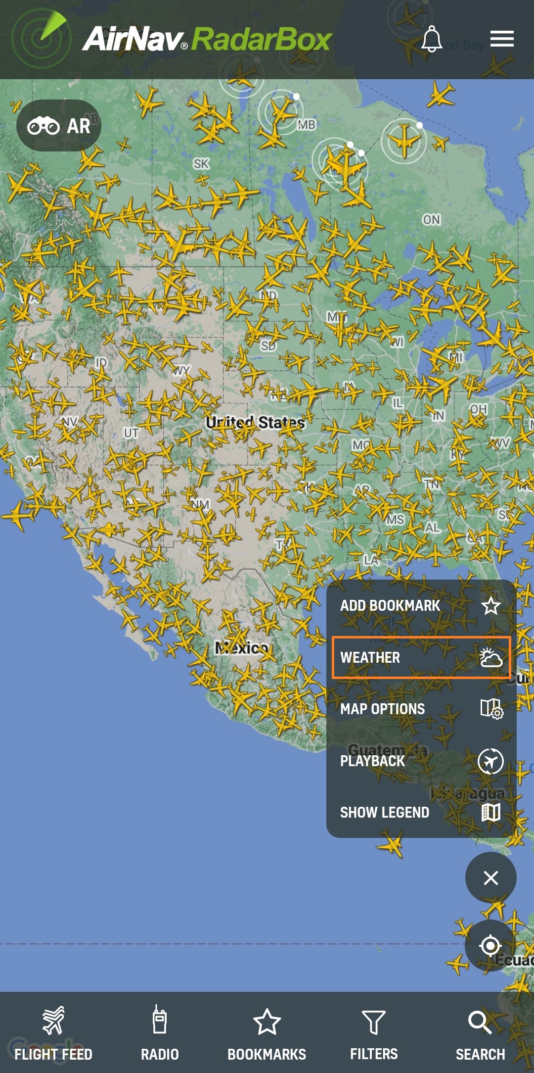
Weathers Layers
Turbulence and Icing
Select the weather layers "TFR", "Turbulence", and "Icing" to activate them on the map.
Weathers Layers (Turbulence and Icing)
Additionally, you can select the altitude and opacity of the turbulence and icing weather layer. Just click on it and select the desired option.
Weathers Layers (Turbulence and Icing)
Weathers Layers (Turbulence and Icing)
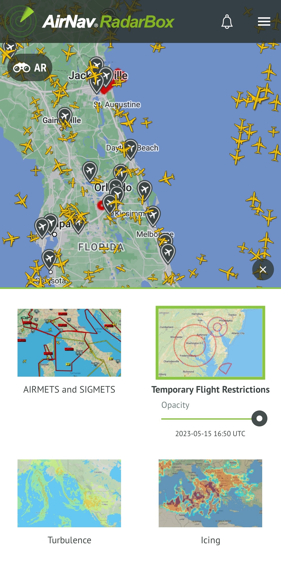
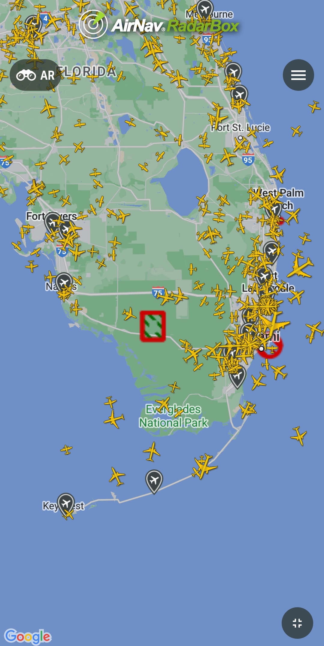
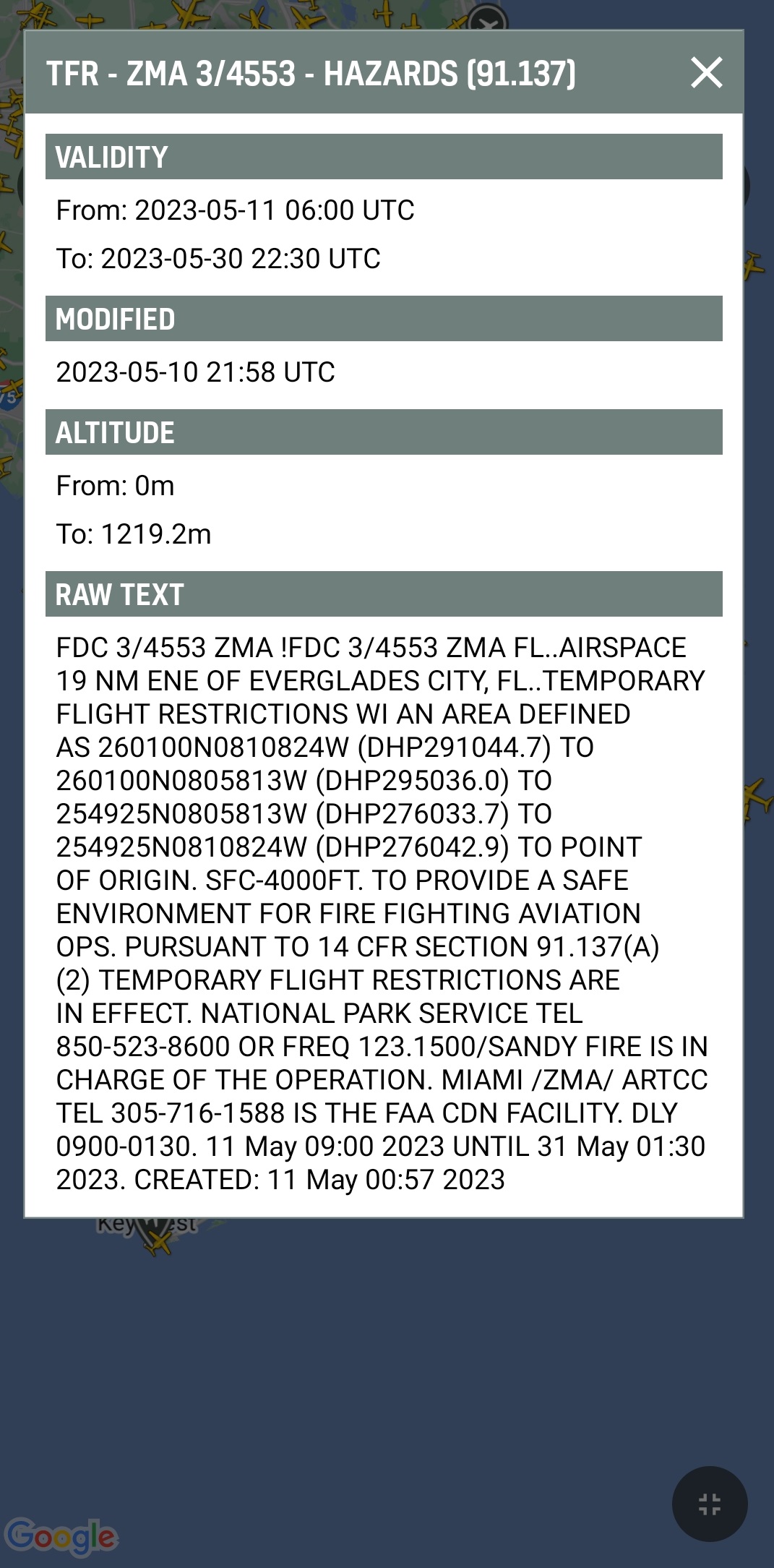
TFR (Temporary Flight Restrictions)
Select the "Temporary Flight Restrictions" option to display zones with flight restrictions.
TFR (Temporary Flight Restrictions)
By clicking on one of these zones, a window will display further information, such as the announced date, validity, and message (NOTAM).
TFR (Temporary Flight Restrictions)
TFR (Temporary Flight Restrictions)
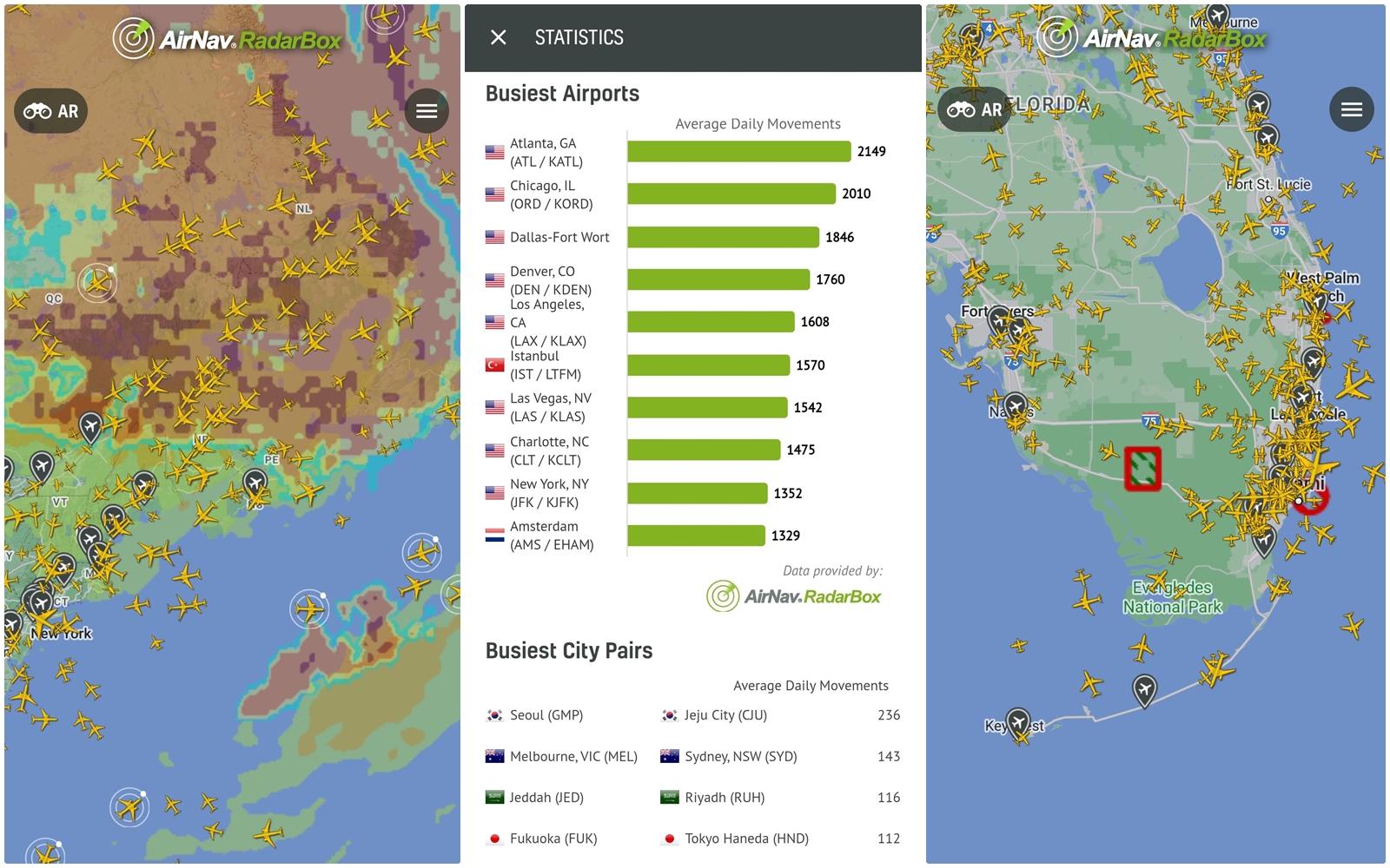
Statistics
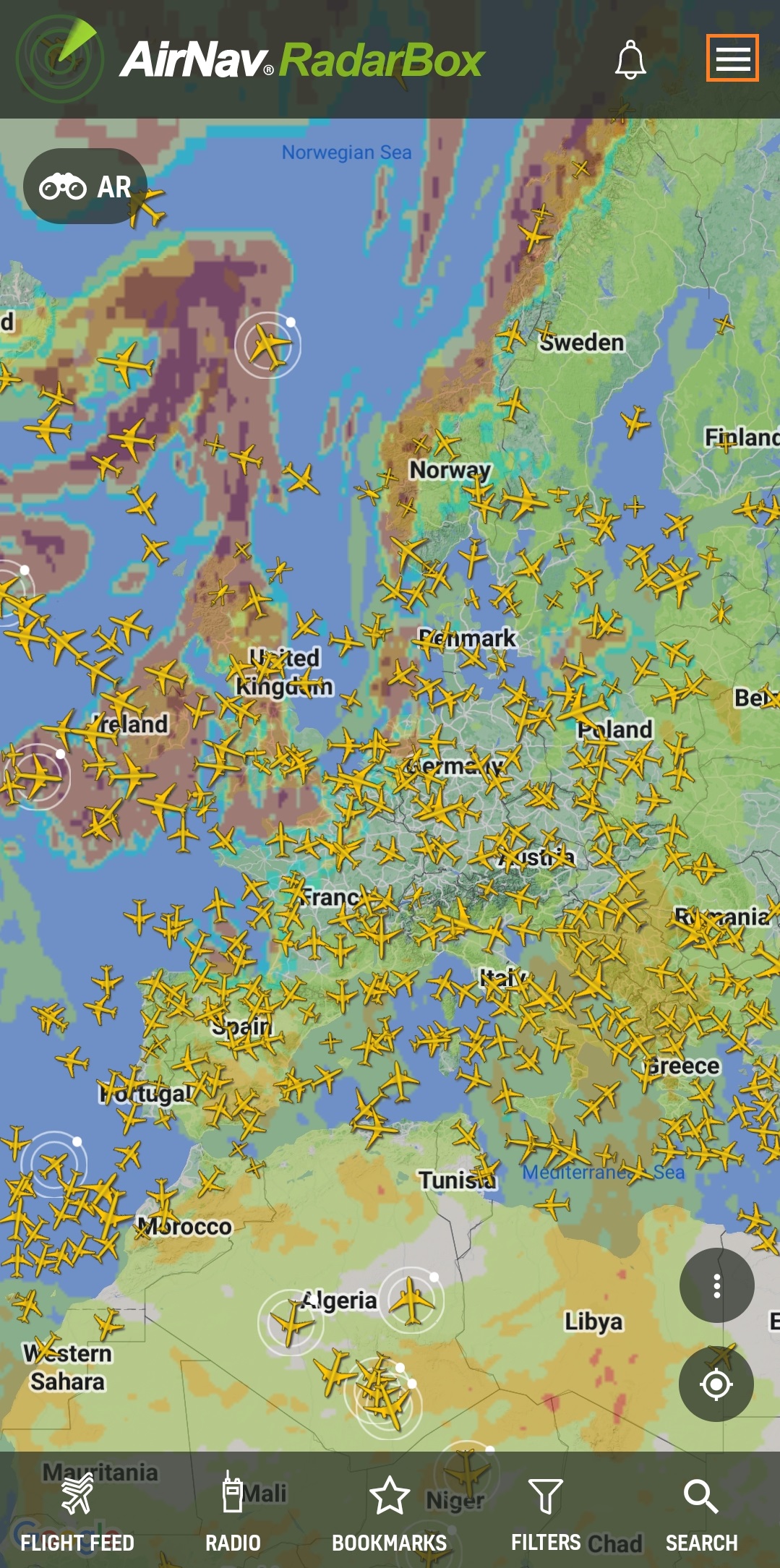
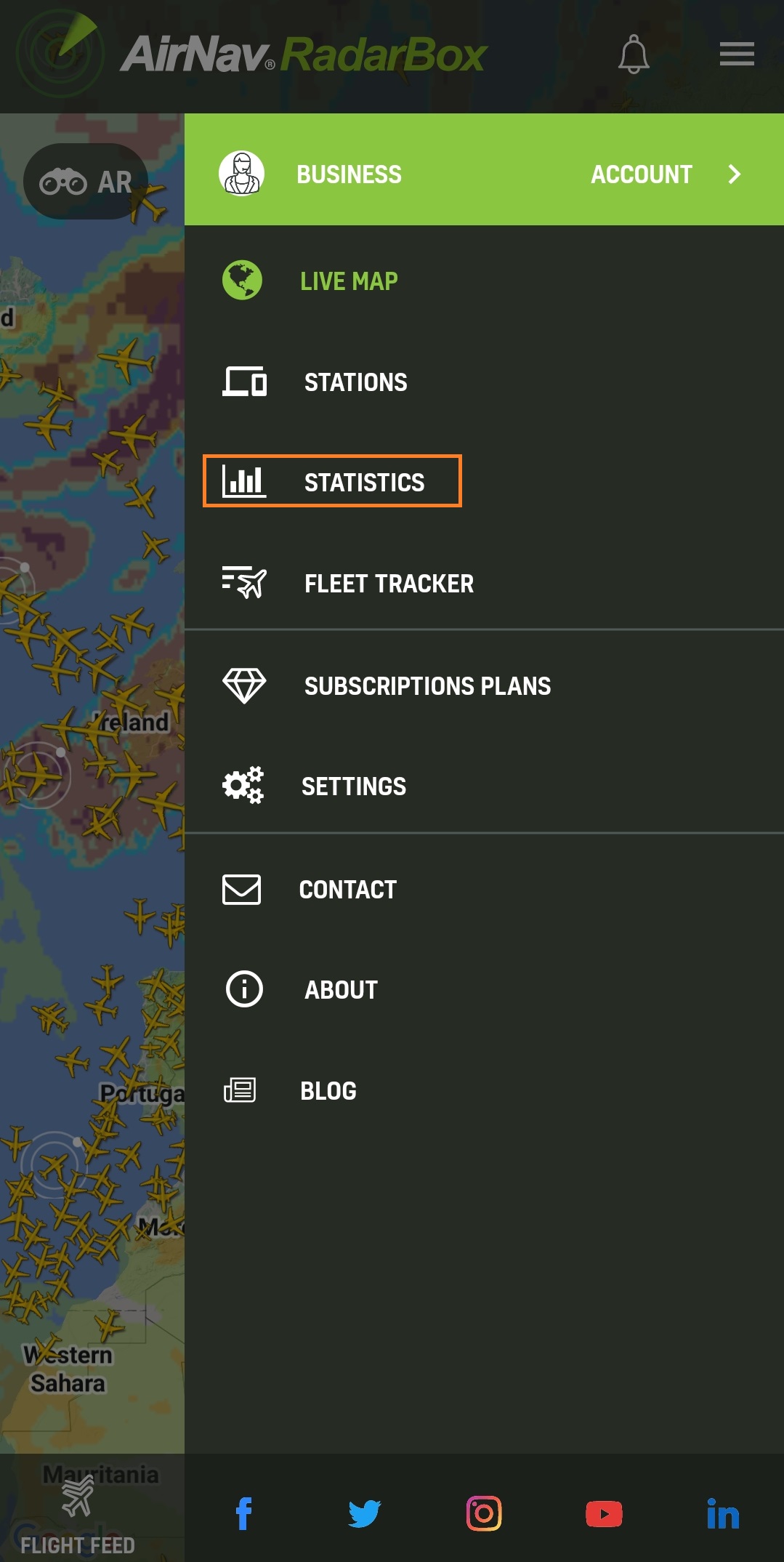
We've added the stats page to the app and added new statistics, such as by country, airport, and airlines worldwide. To use our statistics, click on the menu icon in the app.
Statistics
After selecting the menu in the app, click on the "Statistics" option, and a variety of statistics will be displayed.
Statistics
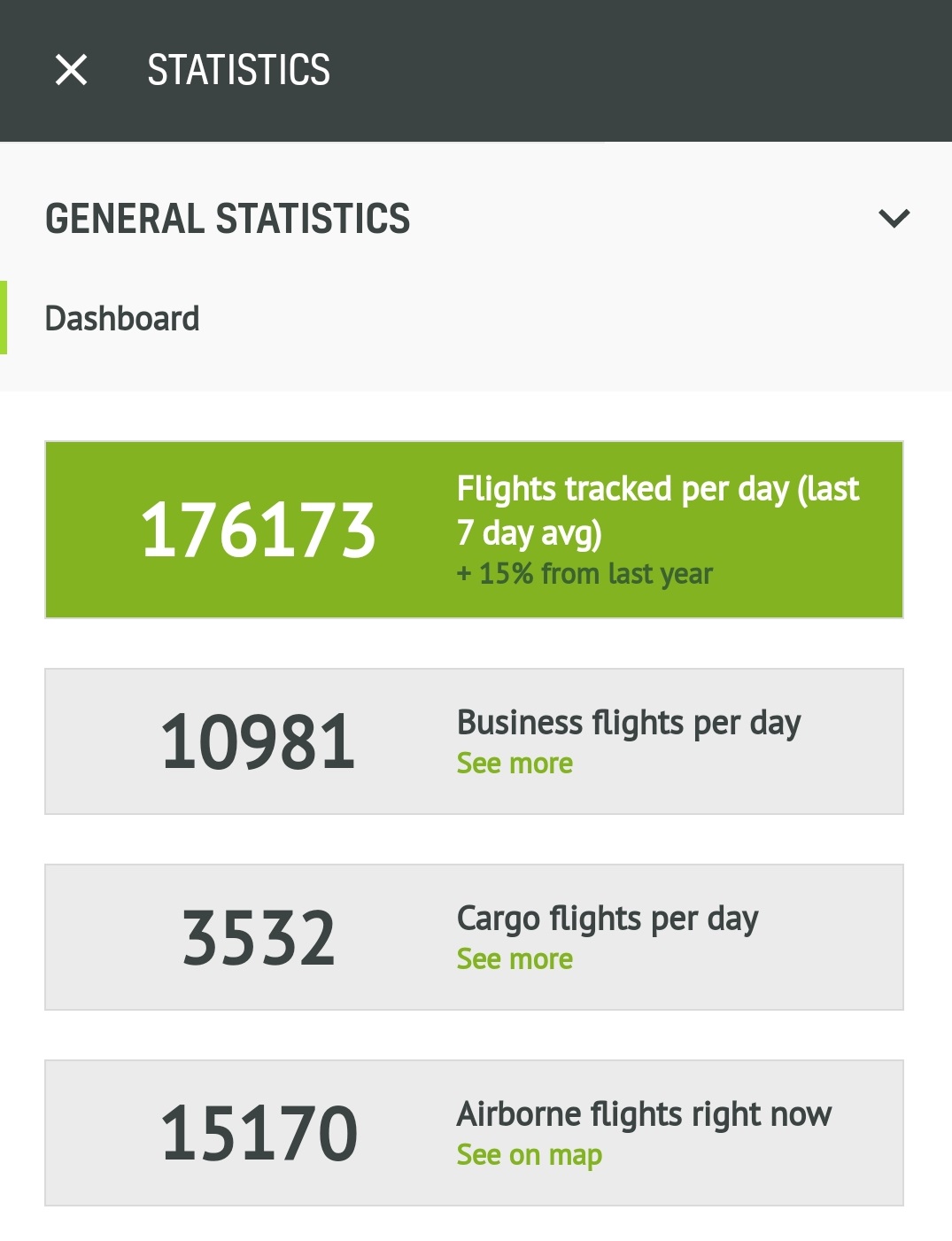
Statistics Dashboard
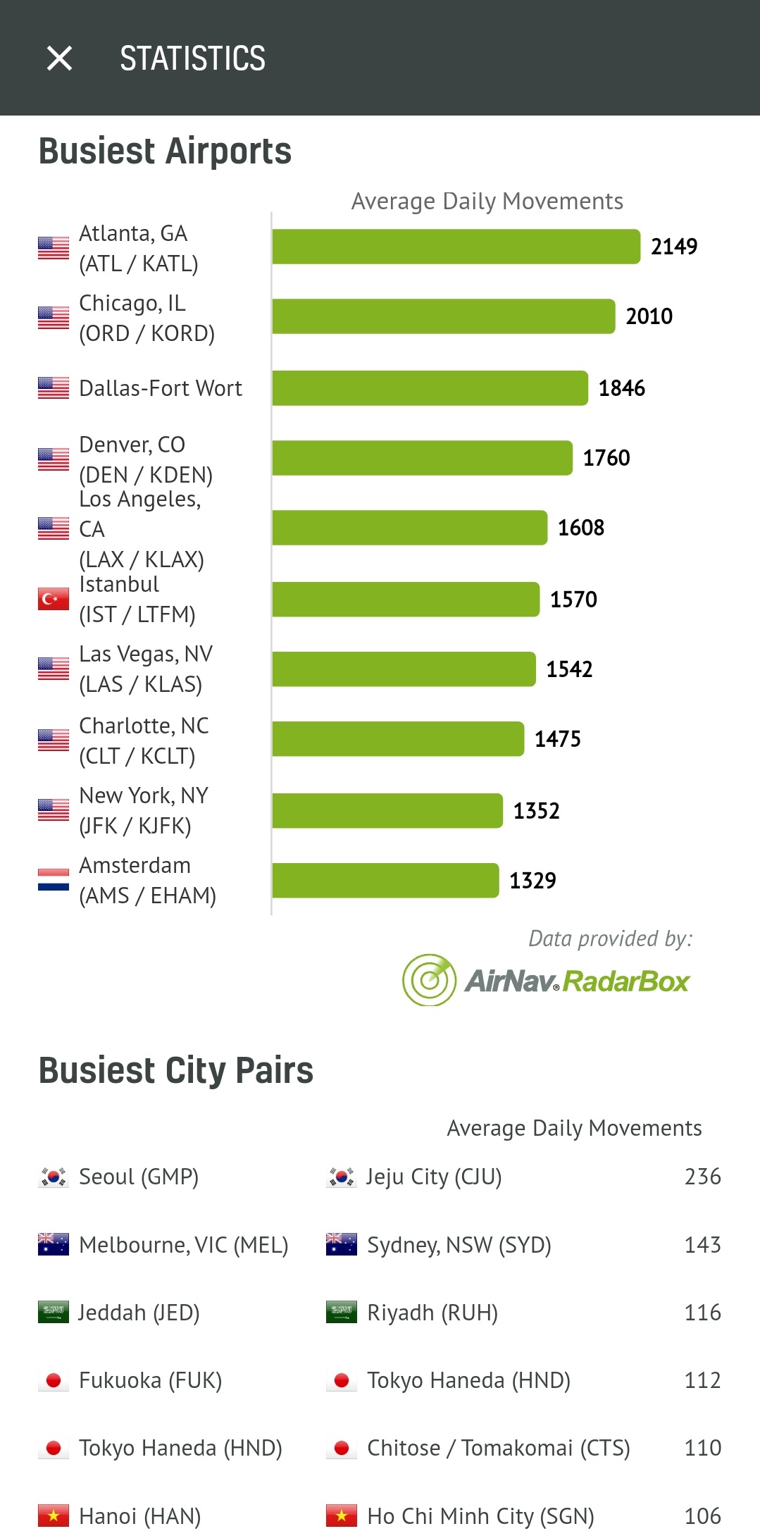
Statistics (Busiest airports & city pairs)
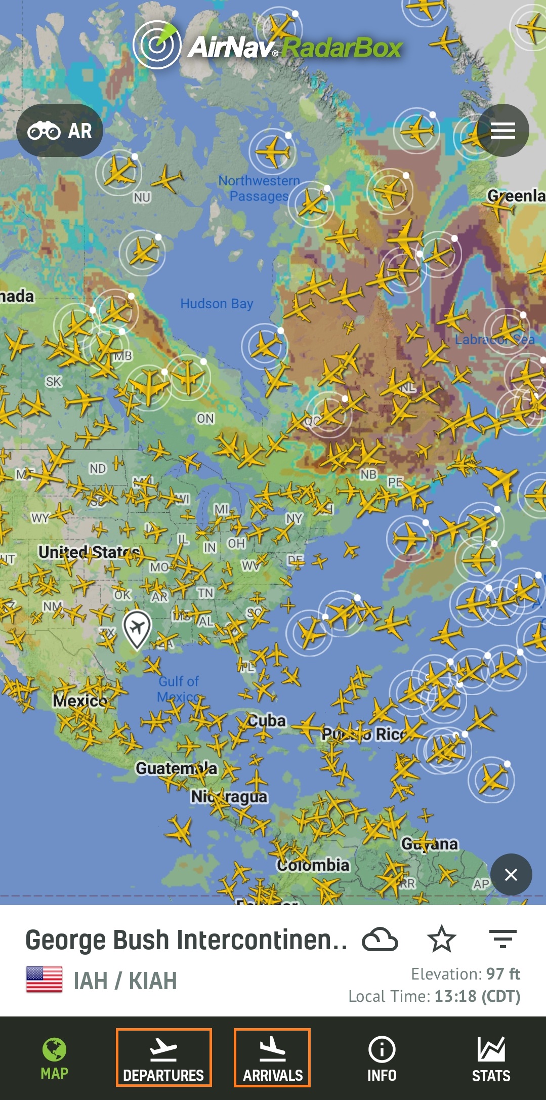
Airport (Bookmark button)
Now you can easily save your favorite airports with a simple click and access them anytime.
.jpg)
Airport (Bookmark button)
Airport (Filter by class)
But that's not all! We've also introduced the ability to filter flights by class, giving you more control over the information you see.
Airport (Filter by class)
Select "Departures" or "Arrivals" and click on the class filter menu within the airport page.
.jpg)
Airport (Filter by class)
Select the aircraft class option you want to filter by on the airport page: airliner, business jet, general aviation, cargo, military, etc.
.jpg)
Airport (Filter by class) Options
After selecting one of the options, you will be displayed the departures and arrivals for that aircraft class on the airport's page. We have selected the "Airliner" option.
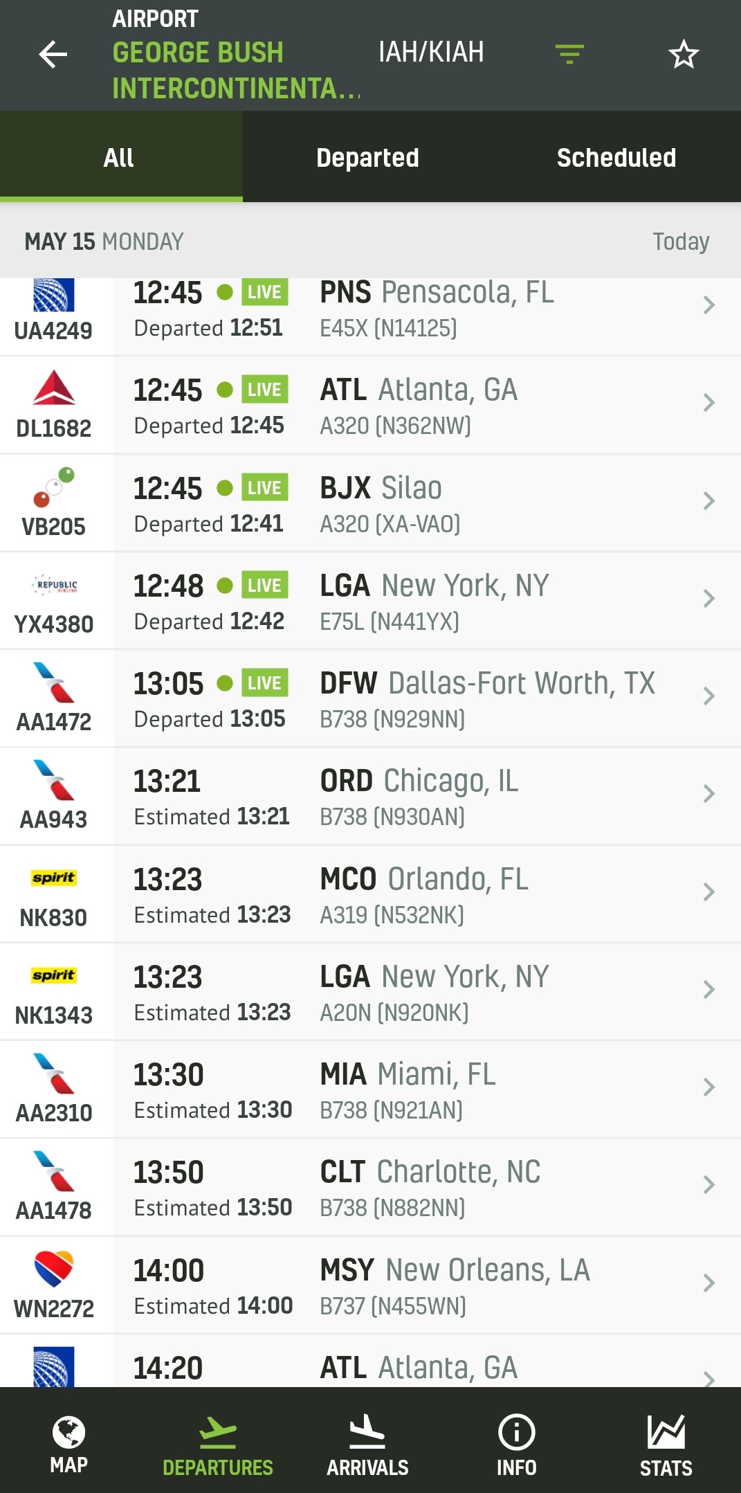
Airport (Filter by class)
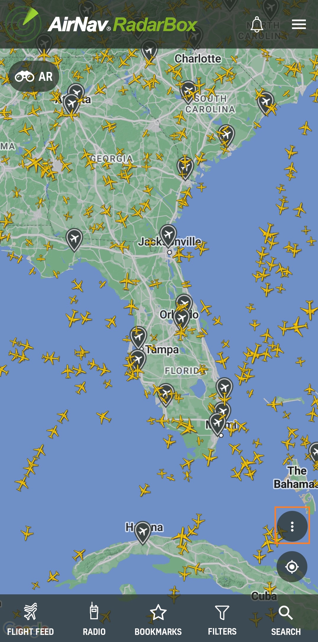
Aircraft Icon Animation
Now, when you click on an aircraft icon, get ready to be amazed as it comes to life with stunning animation!
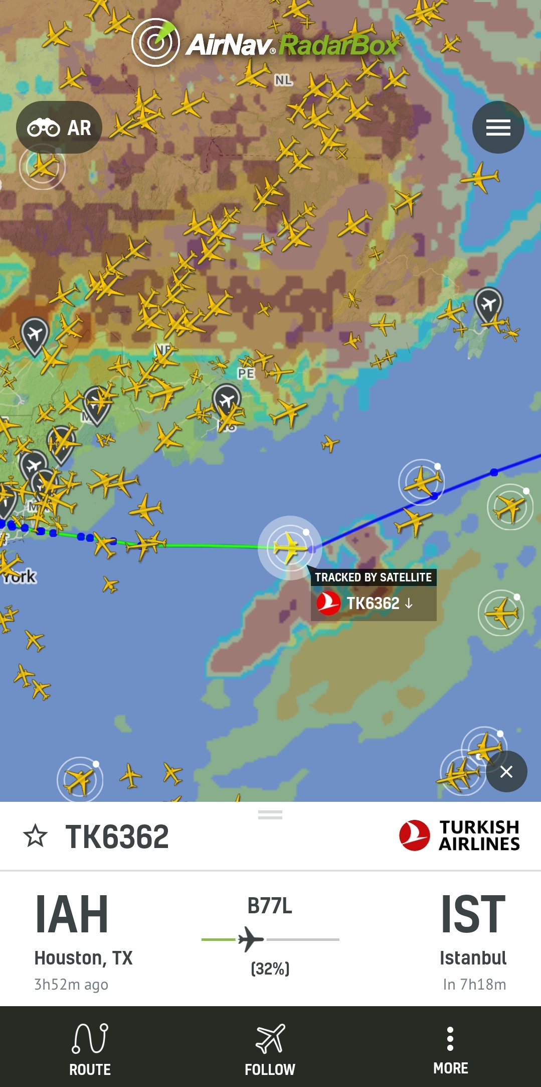
Aircraft Icon
Flight Card (FIR)
FIRs are now available on flight card, giving you access to more detailed and valuable information than ever before. For those unfamiliar, an FIR is a specified region of airspace in which a flight information service and an alerting service are provided—the International Civil Aviation Organization delegates which country is responsible for the operational control of a given FIR.
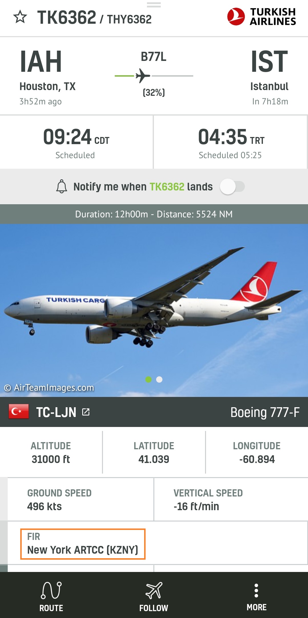
Flight information region (FIR)
To use these features, why not consider subscribing? Subscribe now: RadarBox.com/subscribe.
The latest update has also fixed several bugs, including:
- Login - Email/Password misaligned.
- AR - The image is not presented when the card is centered.
- Subscription Plans - Change Background.
- App showing "Error fetching data" and showing aircraft simultaneously.
- Refactor Altitude and speed filters.
- Main Menu - Leave full screen when closing.
Download our apps now:
![]()
![]()
READ NEXT...
 78356
78356Tracking Helicopters With RadarBox
Today we'll explore how to filter and track helicopters on RadarBox.com. Read this blog post to learn more...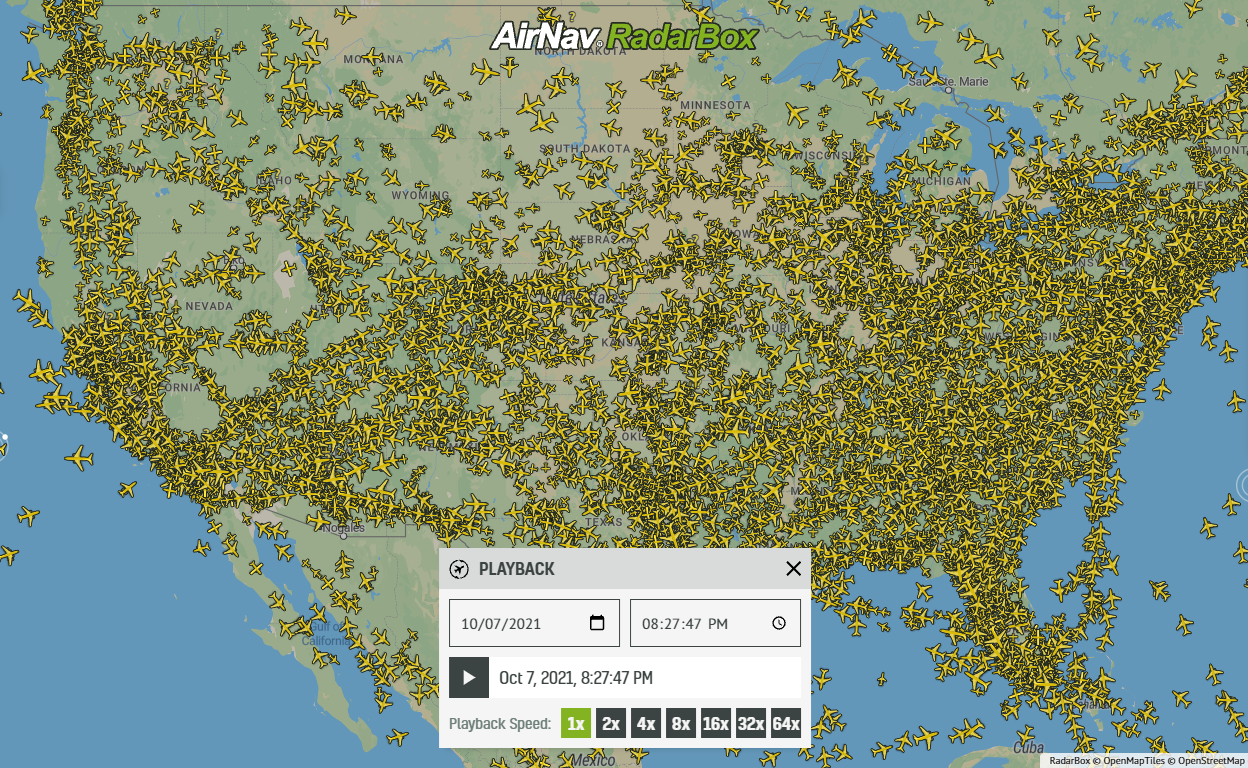 21744
21744Replay Past Flights with Playback
AirNav RadarBox officially launches the playback function on RadarBox.com, allowing users to replay the air traffic for a specific date and time in the past, within a 365-day period. Read our blog post to learn more about this feature.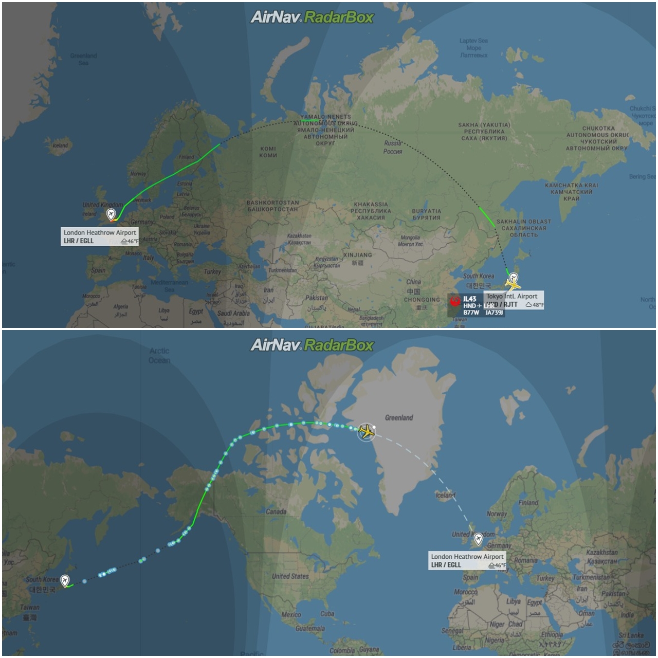 12850
12850Some airlines are flying longer than usual
Following the war in Ukraine and the airspace restrictions due to the Ukraine-Russia conflict, several airlines have been experiencing increased operating costs with detours and consequently longer flights, generating more costs. Read our blog post to find out more!