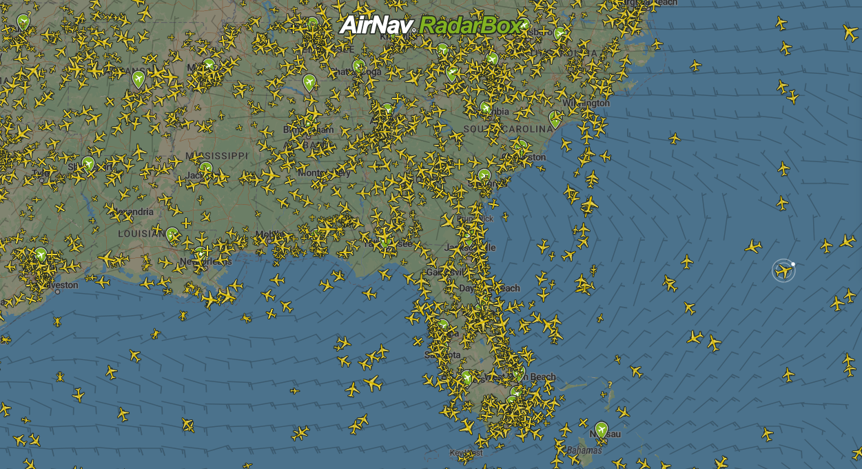
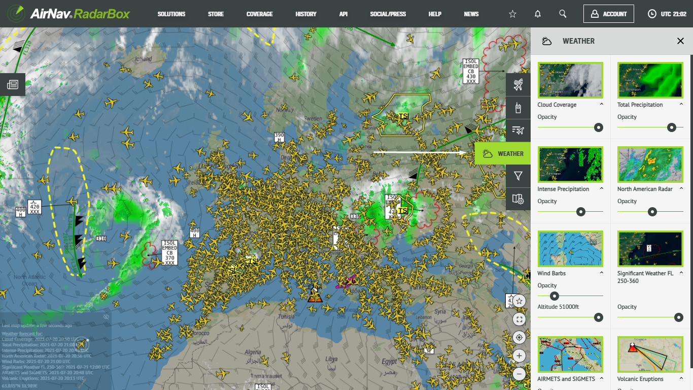
AirNav RadarBox Features: Weather Layers
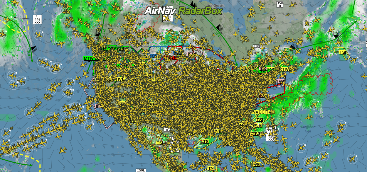
The image above: Weather layers overlayed on the map
At AirNav Systems, our priority is always to offer the most reliable and top-notch services and products. We're constantly attentive to the demands of our customers and the trends of the aviation industry, offering customized solutions according to the customer's necessities with personalized 24/7 support.
AirNav RadarBox features 8 advanced weather layers relevant to commercial/private and general aviation flights and aviation safety.
RadarBox weather layer includes:
- Cloud coverage
- Total precipitation
- Intense precipitation
- North America radar
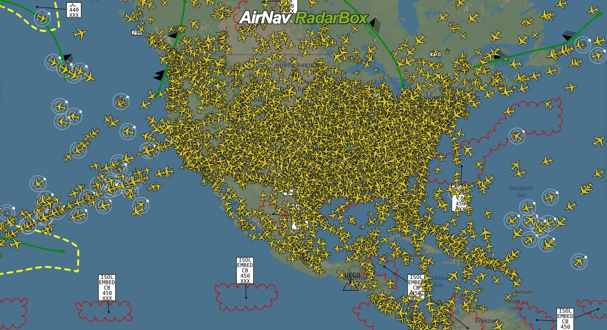
- Wind Barbs
- Significant Weather FL 250-360
- AIRMETS and SIGMETS
- Volcanic Eruptions
Cloud coverage
The cloud layer provides information such as the movement and location of clouds on the map. And it is updated throughout the day to provide you with further accurate information.
The image above: Cloud Coverage overlayed on the map
Total precipitation
The total precipitation layer displays the total amount of rainfall in a given region; Something important to keep in mind is that, depending on the colors of the total precipitation layer, this means a greater or lesser volume of rain in that location. Along with this weather layer, the North American radar highlights the volume and movement of rainfall across North America.
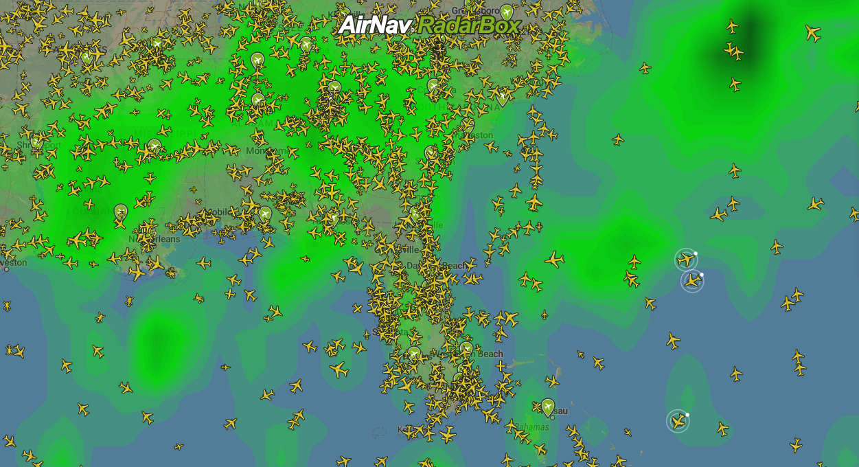
The image above: Total precipitation overlayed on the map
Intense precipitation
The intense precipitation layer features areas where there are large showers and heavy rainfall. An essential feature for operating flights and diverting routes to avoid hail, heavy storms, and turbulence along the way.
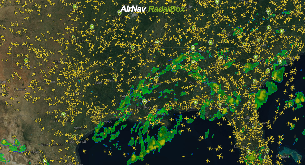
The image above: Intense precipitation overlayed on the map
Wind barbs
The Wind barbs layer provides wind direction and speed from 10,000 feet to 51,000 feet worldwide—another crucial tool for flight planning and maximizing potential routes where there are more favorable winds or tailwinds. Tailwind is a wind blowing in the same direction as the object is moving, increasing the speed of the aircraft and spending less time on a course on the way to the final destination.
The image above: Wind barbs overlayed on the map
Significant Weather
The Significant Weather layer highlights the adverse weather conditions at high altitudes - between FL250 and FL360. Another handy feature for the aviation industry.
The image above: Significant Weather overlayed on the map
AIRMETS & SIGMETS
AIRMETS and SIGMETS display significant adverse conditions on the map, such as thunderstorms, turbulence, restrictions, cold fronts, ice, etc.
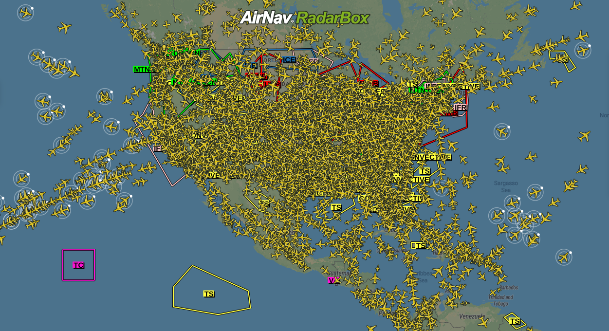
The image above: AIRMET & SIGMET overlayed on the map
SIGMET
SIGMET is a message concerning the occurrence or prediction of certain weather phenomena (ice, cyclone, thunderstorm, and turbulence) en route and other phenomena in the atmosphere (volcanic ash, radioactive cloud, and volcano) that affect the safety of flight operations.
AIRMET
AIRMET is a message consisting of a concise description concerning the occurrence or prediction of en-route weather phenomena, not included in Section I of GAMET, which may affect the safety of air operations below FL100 (or FL150 for mountainous areas).
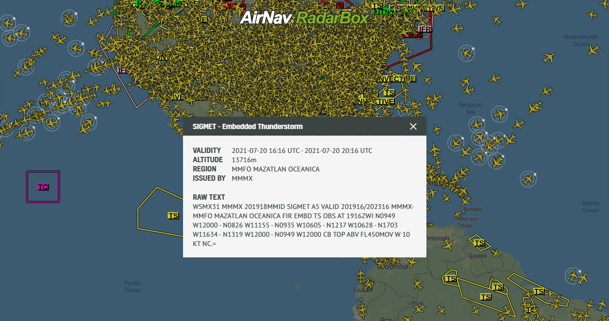
The image above: SIGMET information overlayed on the map
Volcano Eruptions
The volcano eruptions layer consists of information about the activity of volcanoes around the world with forecasts and observations consisting of altitude, etc. Consistently updated, with real-time data on volcano activity around the world.
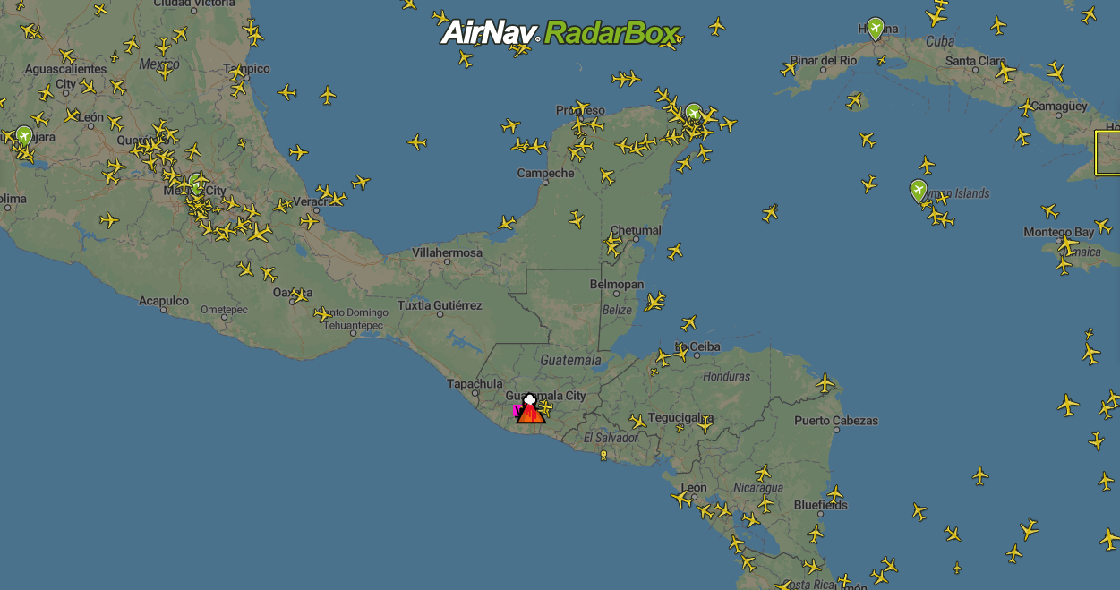
The image above: Volcano Eruptions overlayed on the map
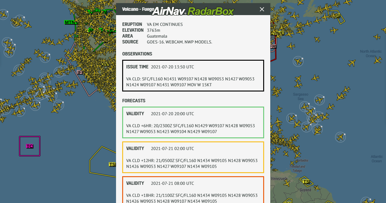
The image above: Volcano Fuego - information overlayed on the map
How to activate weather layers on RadarBox.com
The image above: Weather layers overlayed on the map
To use the advanced weather layers, simply navigate to the right side of the RadarBox.com page and select the fourth item, "Weather". Opening the tab, click on the weather layer you want to activate, for example, Cloud Coverage. And by clicking on "Opacity," you can change the opacity of this weather layer on the map by moving your mouse over this option.
Use promo code SAVE25, and get 25% off all our subscription plans. Subscribe now!
Click here to learn more about our On-Demand (ODAPI).
If you have any questions or feedback, send us an email: [email protected] or send us a tweet with your question or feedback on the hashtag: #RadarBox or @RadarBox24
READ NEXT...
 77882
77882Tracking Helicopters With RadarBox
Today we'll explore how to filter and track helicopters on RadarBox.com. Read this blog post to learn more...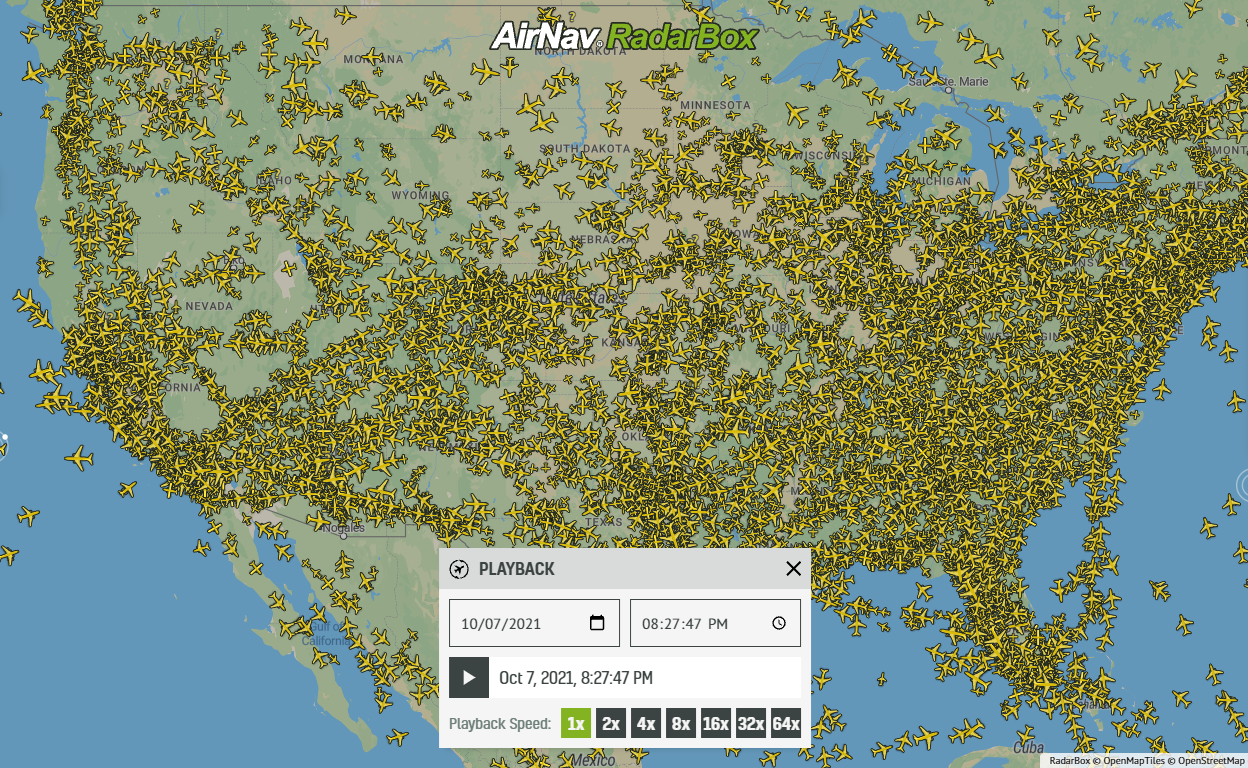 21619
21619Replay Past Flights with Playback
AirNav RadarBox officially launches the playback function on RadarBox.com, allowing users to replay the air traffic for a specific date and time in the past, within a 365-day period. Read our blog post to learn more about this feature.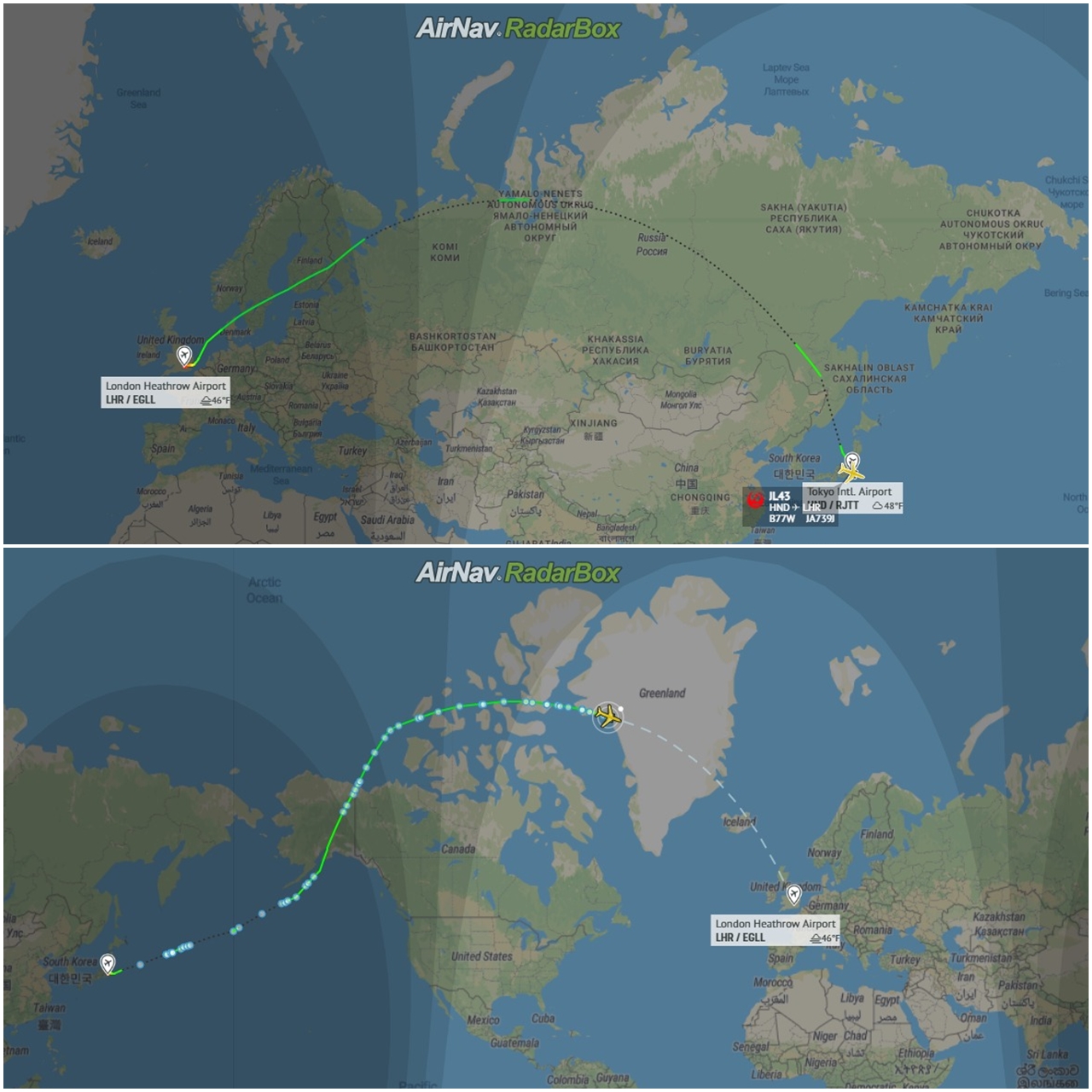 12838
12838Some airlines are flying longer than usual
Following the war in Ukraine and the airspace restrictions due to the Ukraine-Russia conflict, several airlines have been experiencing increased operating costs with detours and consequently longer flights, generating more costs. Read our blog post to find out more!