Weather 2.0
Improve your RadarBox experience with the new Weather layers!
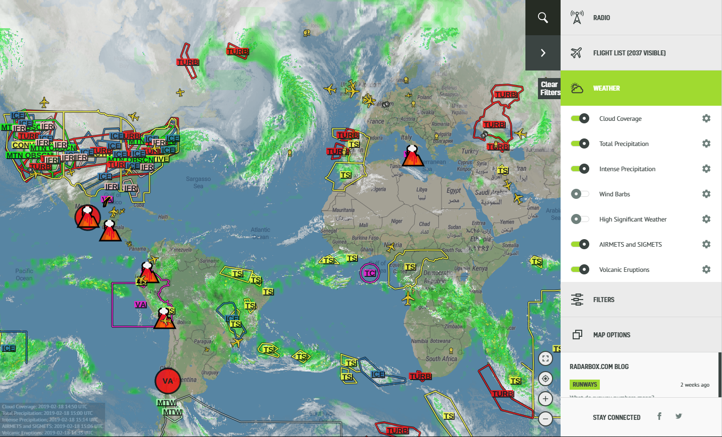
Our weather feature has been completely revamped!
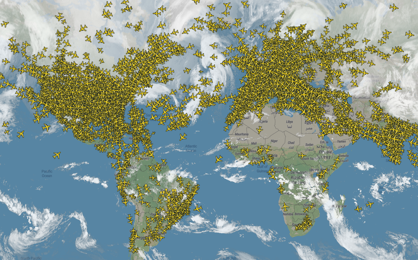
You can now overlay up to seven different weather layers relevant to flight travel and safety, such as volcanic activity, cloud coverage, wind and precipitation, right on your map. If you have a Business account, this integrates greatly with other features such as the Fleet Tracker and Airport View.
Weather layers are configured in the Weather menu, between the Flight list and Filters. There you can control the opacity and access other options for each individual layer.
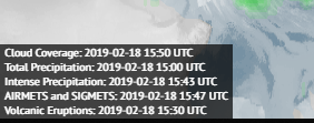
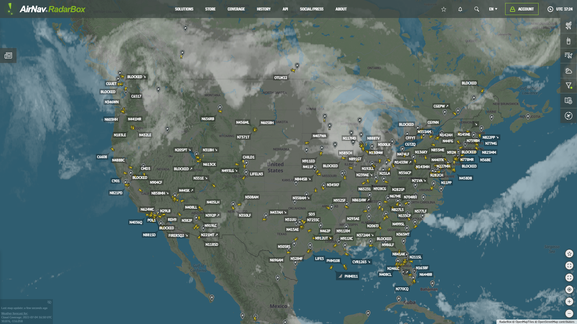
Whenever you’re visualizing weather information, the date and time information for each visible layer is displayed on the bottom-left corner of the map:
Depending on your account type, you might have access to only some of these layers. You can check the features available for each type of account here.
Now for a quick rundown of the types of layers available:
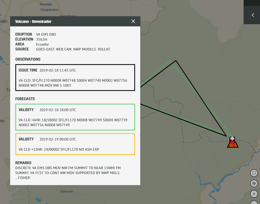
Volcanic Eruptions
- Global volcanic eruptions and volcanic ash. May include forecasts for volcanic ash movement.
- Available for all users
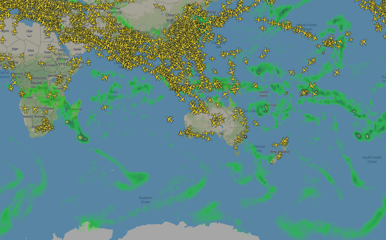
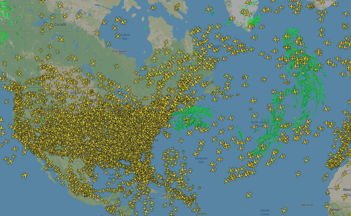
Cloud Coverage
- Global infrared satellite imagery. Updates hourly.
- Available for Pilot and Business users only
Total Precipitation
- Rate of precipitation forecast based on the Global Forecast System model
- Available for Pilot and Business users only
Intense Precipitation
- Satellite derived radar imagery.
- Available for Pilot and Business users only
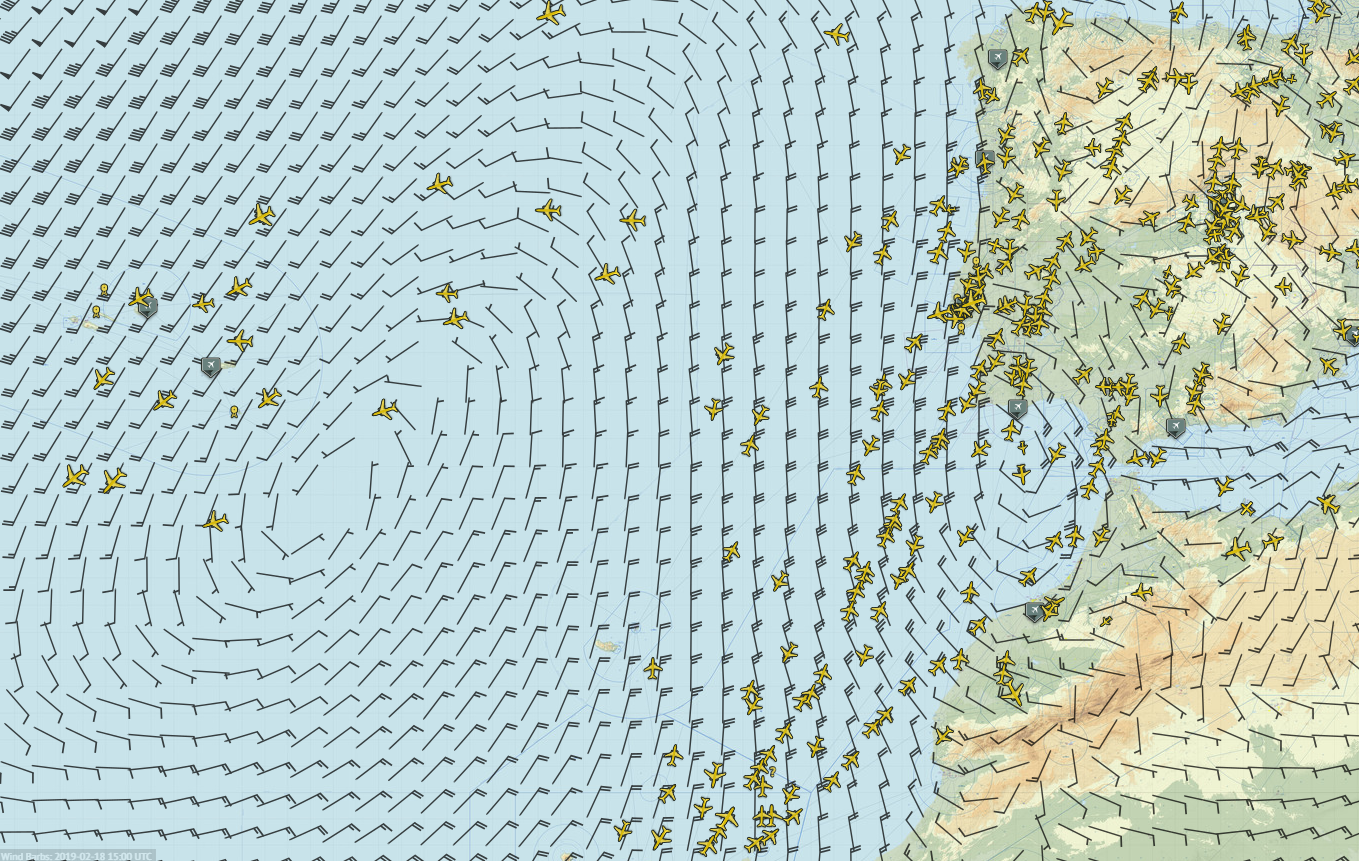
Wind Barbs
- Forecast of wind direction and velocity at various altitudes, based on the Global Forecast System model
- Available for Business accounts only
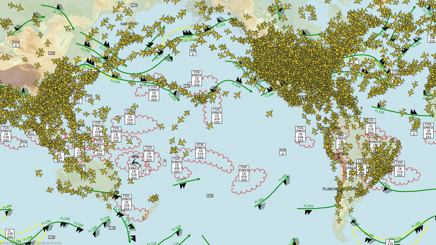
Significant Weather FL 250-630
- Global weather charts issued by World Area Forecast Centers in London and Washington. Contains most important meteorological phenomena for aviation. Displays information for flight level range 250-630.
- Available for Business accounts only.
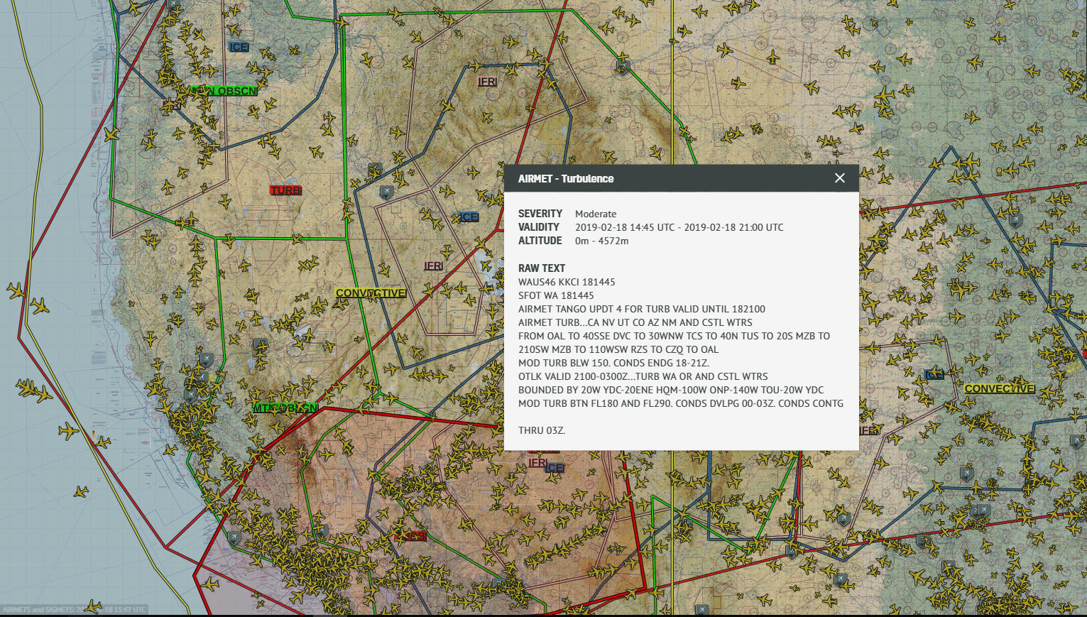
AIRMETS and SIGMETS
- Global AIRMETs (Airmen’s Meteorological Information) and SIGMETs (Significant Meteorological Information) describing weather conditions that may affect aircraft safety.
- Available for Business users only
We are confident these new additions will make your experience aboard RadarBox an even more pleasant one. Remember to submit your feedback and suggestions to [email protected] and happy tracking!
READ NEXT...
 78368
78368Tracking Helicopters With RadarBox
Today we'll explore how to filter and track helicopters on RadarBox.com. Read this blog post to learn more... 21746
21746Replay Past Flights with Playback
AirNav RadarBox officially launches the playback function on RadarBox.com, allowing users to replay the air traffic for a specific date and time in the past, within a 365-day period. Read our blog post to learn more about this feature. 9365
9365Aircraft antennas
Aircraft antennas perform a broad range of functions on modern aircraft, from conveying voice and data to helping locate the aircraft via the GPS network.