Satellite Based ADS-B
Why Satellite-Based ADS-B?
Tracking aircraft has always been a challenge since the beginning of modern aviation. The use of Radar and GPS in air traffic surveillance during the mid to late 20th century were remarkable milestones that ushered in decades of exciting new innovations in the industry. Nonetheless, along with these brilliant new solutions, came newer and more complex problems that needed solving. Chief among them was the issue of 100% continuous global flight tracking – a problem that was not affordably and effectively solved, until now.
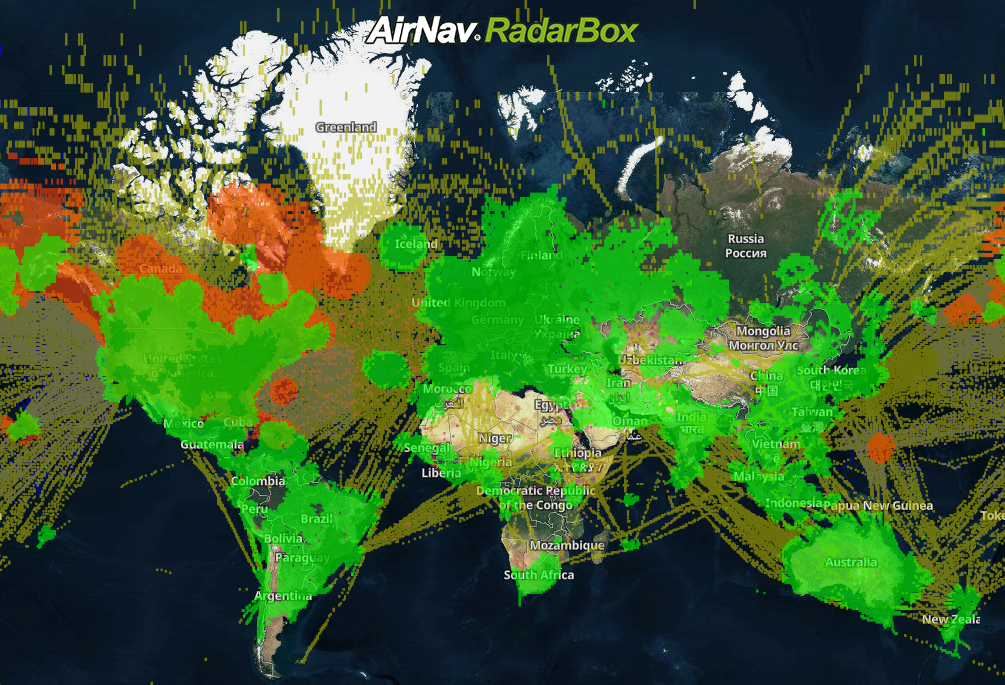
For over two decades AirNav Systems has been committed to creating the industry’s most reliable and extensive ADS-B tracking network on the ground. And our worldwide tracking coverage in over 145 countries stands testament to this. However, “dark zones” and “tracking gaps” continue to remain over oceans and remote geographic areas. To overcome this exigent issue plaguing the industry, we’re going beyond the stratosphere and into space by partnering with several satellite service providers to close these "dark zones" and "tracking gaps", thereby ensuring 100% global air traffic surveillance. Satellite-based ADS-B, we believe, is “THE NEXT BIG THING” in the industry.

Satellite-based ADS-B combines both Satellite & ADS-C sources to provide 100% continuous air traffic surveillance.
How It Works
Traditionally, ground-based ADS-B receivers along with Radar have been used in tracking and air surveillance. This method, however, has had its own set of challenges since ADS-B tracking is based on the line of sight principle and mountains, tall buildings, vast water bodies etc. can significantly decrease an ADS-B receiver's range and impede its ability to receive ADS-B out signals emitted by aircraft. Thus limiting a receivers' range to a small geographic area of 100 - 150 nautical miles.
The Satellite-based ADS-B solution uses data from ADS-B receivers placed on nano-satellite constellations in space to track aircraft as they fly. This data is then relayed from our satellite service providers to AirNav's servers for processing. Once this data is processed (in milliseconds) it is then displayed on the Radarbox website for site users, ANSP's or operators to view. What makes Satellite-based ADS-B tracking a game-changer is that tracking is no longer limited by terrain, weather, location, or infrastructure. Further, working with multiple satellite-based data providers has also ensured the economizing of our Satellite-based ADS-B offering.
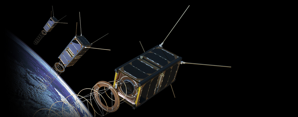
An ADS-B Out Reception nano-Satellite in Space
We're certain that our existing ground-based ADS-B network, complemented by our Satellite-based ADS-B technology will be able to provide a more complete picture to the users on the ground. No special permission is required from the FAA or other civil aviation regulators to use or access this service. Moreover, aircraft do not need to be fitted with any special equipment other than an ADS-B out transponder. Pilots and jet operators who are looking to comply with the mandatory FAA/ICAO/EASA flight tracking requirements can do so now with AirNav’s turnkey solution – RadarBox.
Features
- 100% continuous global air traffic surveillance.
- FREE for Radarbox Pilot & Spotter subscribers (No Extra Cost)!
- Efficient routing, fewer delays & enhanced safety for ANSP's & operators.
- Integrated with existing ground-based ADS-B tracking systems.
- Full compliance with FAA/EASA/ICAO flight tracking requirements.
- Bespoke client integration solutions available.

Eva Air BR670 tracked by Satellite-based ADS-B over the Pacific Ocean.
Impact
- Pilots and jet operators who are looking to comply with the mandatory FAA/ICAO/EASA 2020 flight tracking requirements can do so now with an AirNav RadarBox Business account (turnkey solution).
- Aircraft do not need to be fitted with any special equipment other than an ADS-B out transponder.
- Business users subscribing to the Satellite-based ADS-B service will continue to have access to our ground-based ADS-B network that includes tracking data from ADS-B, MLAT, FAA ASDI, Oceanic Reports, Flight Plans, CPDLC, and HFDL.
Satellite-Based ADS-B Demo
1. My Fleet
Tracking your fleet is easier than ever with our brand My Fleet user interface. After you've purchased a business subscription simply go to your "My Fleet" page, and enter your aircraft registration/tail-number. That's it! You should be able to monitor your fleet instantly with Satellite-based ADS-B tracking automatically activated and tracking your fleet.

The "My Fleet" dashboard with Satellite-based ADS-B tracking over the Pacific!
2. View Only Satellite Tracked Flights
To only display flights tracked by satellite, click on the filter button on the right side of the map (see below) and then "turn on" only SAT-ADSB & ADS-C. Make sure none of the other buttons such as ADS-B, MLAT, ESTIMATED etc. are "turned on" (in green).

Filter settings to view only satellite-tracked flights.
Satellite-based ADS-B Data API
If you or your business would like to use our Flight Tracking API or Satellite-based ADS-B data for the software solutions you provide, please contact us for a bespoke solution. For general inquiries or any other technology-specific queries, please email: [email protected].
READ NEXT...
 6965
6965AirNav RadarBox Feature of the Week: Data Sources
This week's focus is on RadarBox.com's data sources. AirNav RadarBox data sources include ADS-B ground-based and ADS-B satellite-based data, ADS-C, MLAT, FLARM, along a dozen other data sources. Read this week's blog to learn about all the data sources available on AirNav RadarBox.- 1498
AirNav RadarBox Solutions: Data Sources
AirNav RadarBox data sources include ADS-B ground-based and ADS-B satellite-based data, ADS-C, MLAT, FLARM, along with a dozen other data sources. Read this blog post to learn about all the data sources available on AirNav RadarBox. 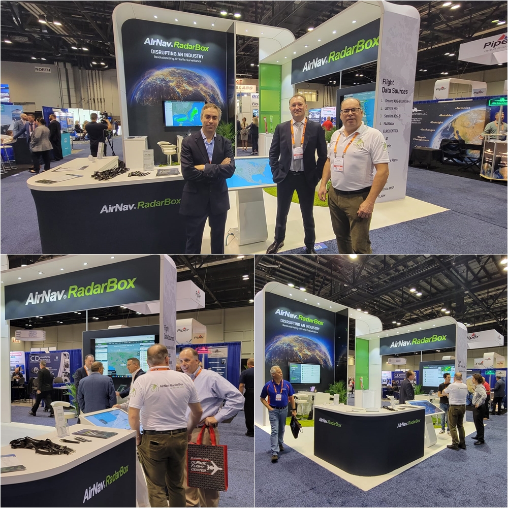 1367
1367AirNav RadarBox Participates in 2022 NBAA Business Aviation Convention & Exhibition (NBAA-BACE) in Orlando
AirNav RadarBox exhibits at the NBAA Business Aviation Convention & Exhibition (NBAA-BACE) in Orlando. Read the blog to find out more!